Marla Aron has ended her term as CPA Logo Gear Volunteer after doing a wonderful job for many years. CPA now needs a volunteer to steward the logo gear sales. This is your opportunity to give back to YOUR paddling club. The job responsibilities include inventorying and maintaining stocks of shirts and other logo gear, transporting them to CPA events …
Check out SK101: The Video
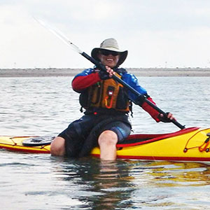
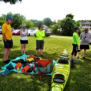
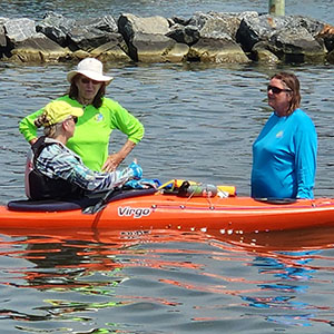
SK101, Introduction to Sea Kayaking, was held April 13, 2024 at Cult Classic Brewery on Kent Island, Maryland. Thanks to photos taken by Rich Stevens, all the action at SK101 was captured and put into a video. Click on the image here.
Introduction to Seakayaking SK-101
Chesapeake Paddlers Association Come join us for a day of exploring sea kayaking with local paddlers and instructors, no boat needed! Local paddlers sharing their experiences and expertise on a variety of topics. Learn how to get comfortable with a little more distance and a little more bounce to open up a world of new opportunities. Cult Classic Brewery Kent …
CPA Annual Report Now Available
The 2023 Consolidated Annual Report for the Chesapeake Paddlers Association is now available online. The report combines the minutes of the Annual Meeting in November, the membership report, the treasurer’s report, and the participation report for the 2023 paddling season (December 2022 to November 2023). Annual reports for prior years, an archive of The Chesapeake Paddler newsletter and selected article …
