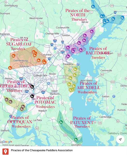
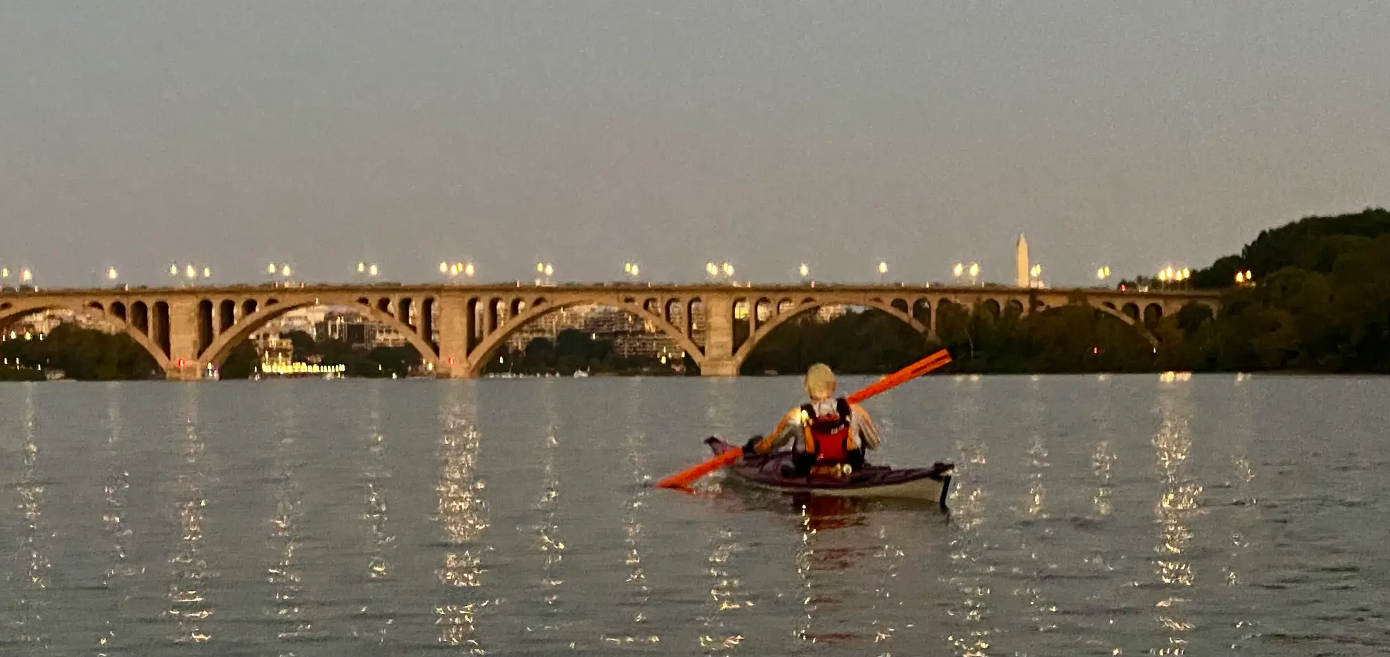
Pirates of BALTIMORE
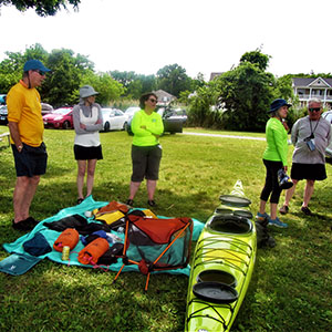
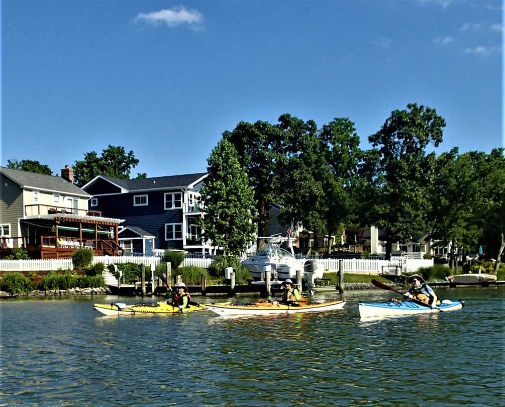
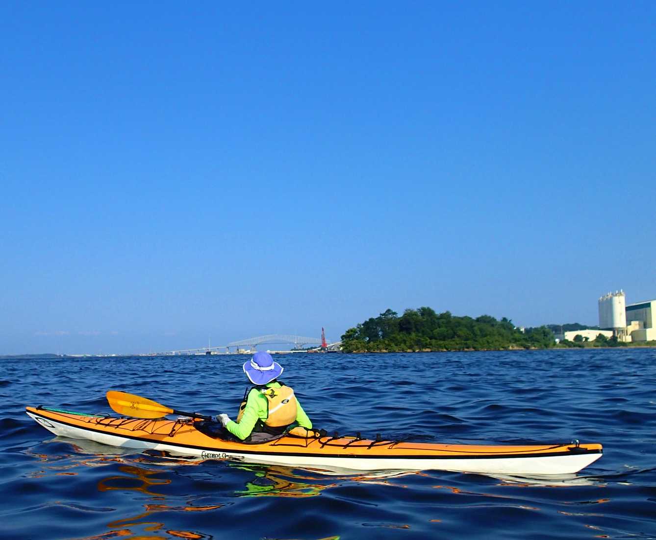
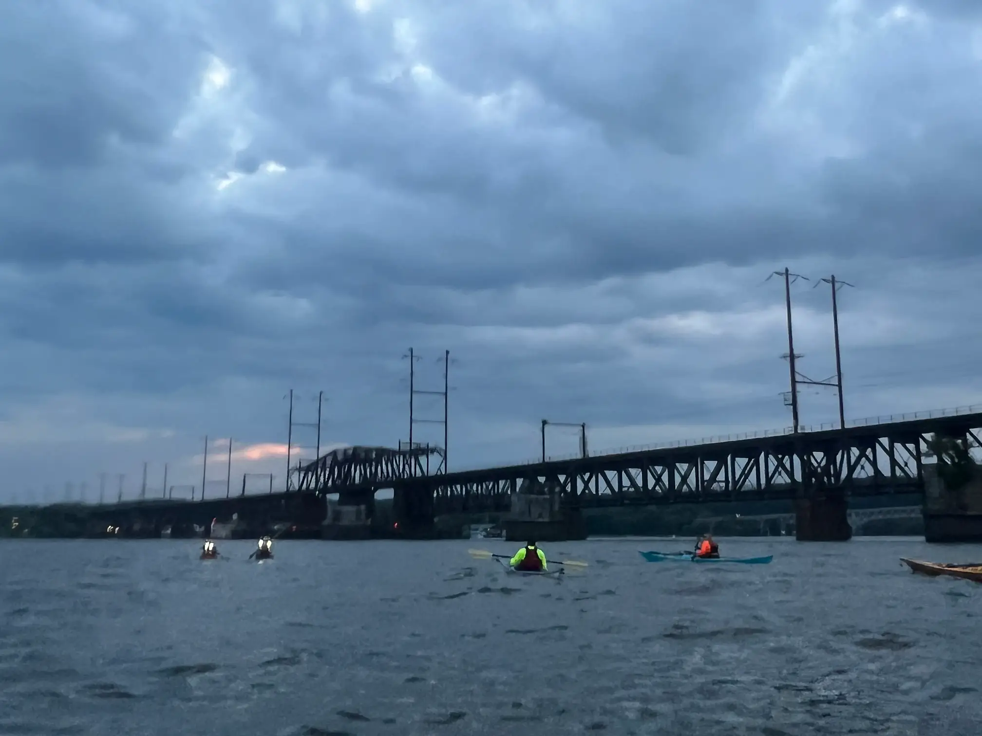
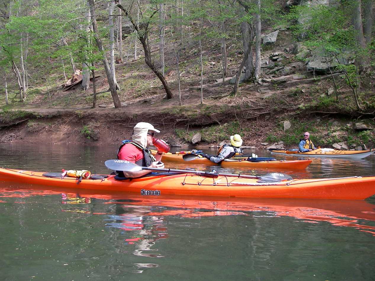
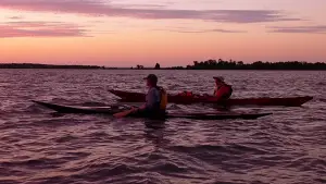
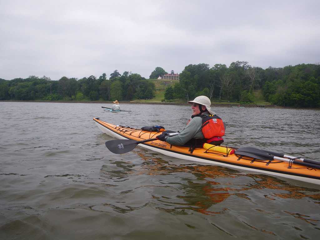
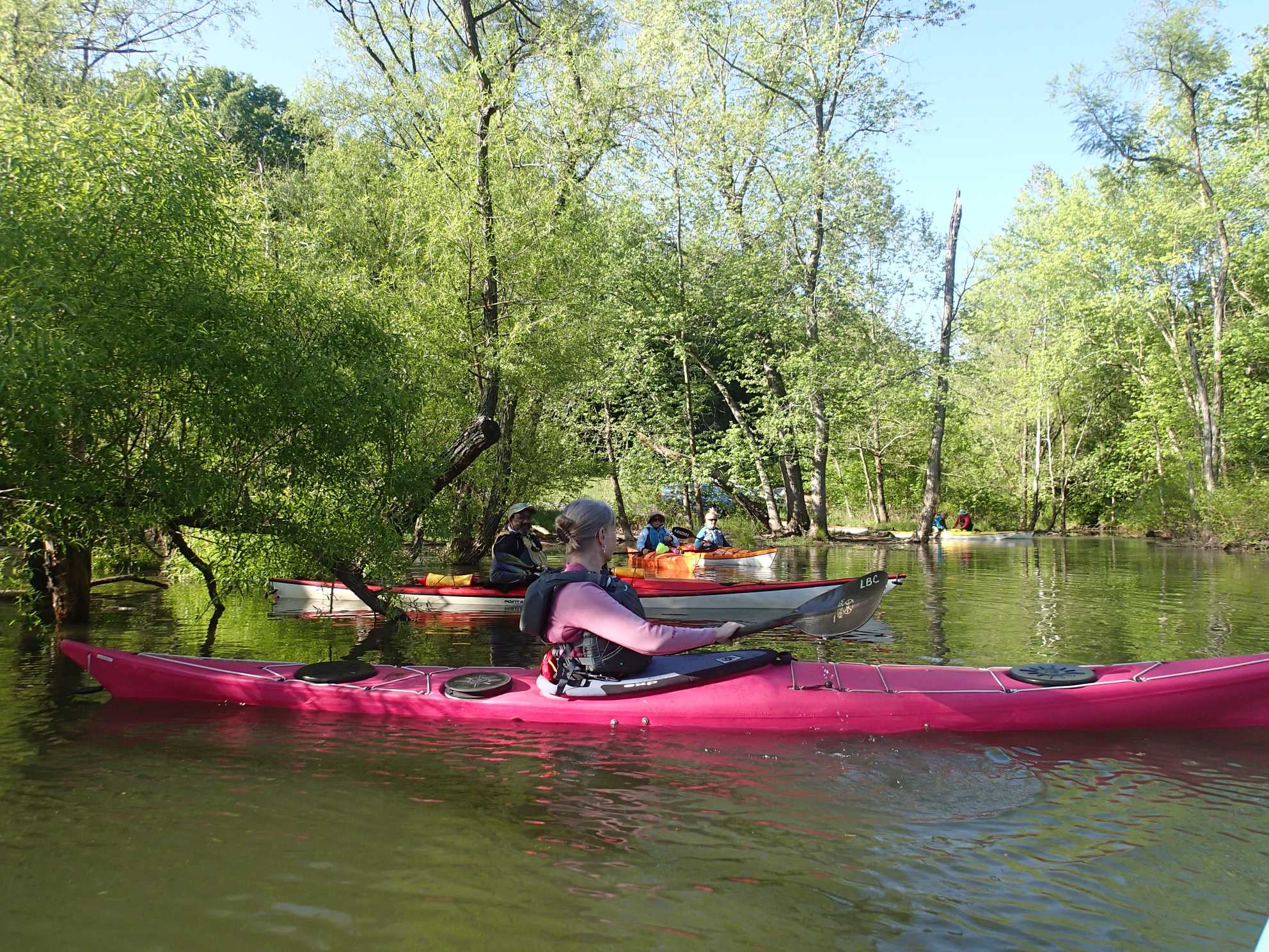
We meet every Tuesday evening, launching from various sites around Baltimore City and County. Some favorites include Dundee Creek, Rocky Point State Park, Wilson Point, Mariner Point State Park, and more. Our paddles will be a time to destress, socialize, explore the natural environment of the upper Chesapeake bay area, and from time to time practice basic rescues and specific paddle strokes. Our routine is to paddle till dusk and then go grab a bite to eat at a local restaurant.
On the water time is at 6 pm sharp so please arrive by 5:30 to have enough time to unload your kayak and gear. Required gear for these events includes: sea kayak (14’ recommended for open water paddles, with flotation both bow and stern), paddle, PFD, whistle, spray skirt, paddle float and bilge pump, and kayak deck lights, drinking water, and if you have these: Marine radio, spare paddle, tow rig, and snacks.
The schedule of events with exact locations and dates can be found on the CPA Meetup website (FYI: Please indicate your attendance on the Meetup site, and please change your RSVP if your plans change. It is very helpful if we know who is coming). We will paddle through to September.
You must complete one CPA waiver that will cover all the Tuesday evening paddles. Waivers must be handed in prior to when you launch.
Visit: Discussion Forum, Email
When: Usually meet at 5:30 to paddle at 6:00 PM Tuesday
Where: TBA